Roads, Bridges & Goods Movement

TransLink is responsible for more than just transit – we also ensure that the region’s road and bridge networks move smoothly and efficiently. Through the Major Road Network (MRN), over 2,600 lane-kilometres of key arterial roads, we partner with municipalities to fund ongoing maintenance, upgrades, and safety improvements that support commuters, buses, cyclists, pedestrians, and goods movement.
Through our Local Government Funding Programs, we invest in walking, cycling, road, and bridge projects that build stronger and more vibrant communities.
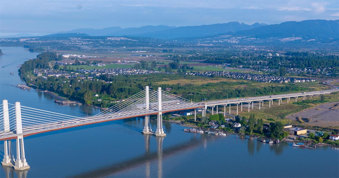
TransLink also owns and maintain five regional bridges, including the Knight Street, Pattullo, Golden Ears, and Westham Island bridges, as well as the Canada Line bike and pedestrian bridge. We perform regular maintenance and rehabilitation work on these bridges to ensure their safety and reliability.
Goods movement is another essential part of our transportation system. Through the Regional Goods Movement Strategy, we work with our partners to make goods movement cleaner, safer, and more efficient while sharing limited road space with the people who live, work, and travel in our region.
Together, these responsibilities reflect our broader commitment to build a transportation system that moves people and goods safely, reliably, and sustainably throughout Metro Vancouver.
Local Government Funding Program
Discover how TransLink invests in walking, cycling, transit, road, and bridge projects through our Local Government Funding Programs (LGFP).
Major Road Network
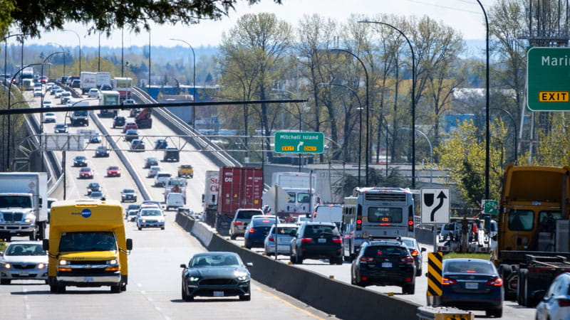
The Major Road Network (MRN) supports the safe and efficient movement of people and goods across the region. It includes over 2,600 lane-kilometres of major arterial roads that carry commuter, transit, and truck traffic. The Major Road Network connects the provincial highway system with the local road network, and some corridors also serve cyclists and pedestrians.
TransLink, in partnership with municipalities, plans the region's Major Road Network. TransLink contributes funding for the on-going operation, maintenance and rehabilitation of the MRN, but ownership and operational responsibility for the MRN remains with the respective municipalities. TransLink also shares the cost of road, cycling, and pedestrian improvement projects with municipal partners and other stakeholders, in order to expand options for driving, cycling, and walking across the region.
Operations, Maintenance and Rehabilitation
Maintaining the Major Road Network (MRN)
TransLink also contributes to the annual upkeep and maintenance of over 2,600 lane-kilometres of the Major Road Network (MRN). This Operations, Maintenance, and Rehabilitation (OMR) funding helps keep the Major Road Network in a state of good repair, ensuring that people and goods can move efficiently and safely across the region.
Work on the Major Road Network is planned and performed by municipalities and includes activities such as street cleaning and snow removal, patching potholes, repaving, and maintaining streetlights, traffic signals and signs. Each year, municipalities receive an amount that is proportionate to the number of Major Road Network lane-kilometres within their community.
What is a lane-kilometre? Imagine there is a one-kilometre road that has two lanes in both directions for a total of four lanes. That is four lane-kilometres.
-
TransLink has invested over $61 million in 2022 to help keep the Major Road Network in a state of good repair.
-
TransLink has Invested $280 million towards the maintenance and rehabilitation of the Major Road Network since 2017.
-
TransLink has invested in the maintenance of over 850 structures since 2017 to help keep drivers safe on structures such as bridges, culverts, and retaining walls
-
TransLink also invests in the maintenance of over 1115 traffic signals throughout the region.
TransLink Owned Bridges
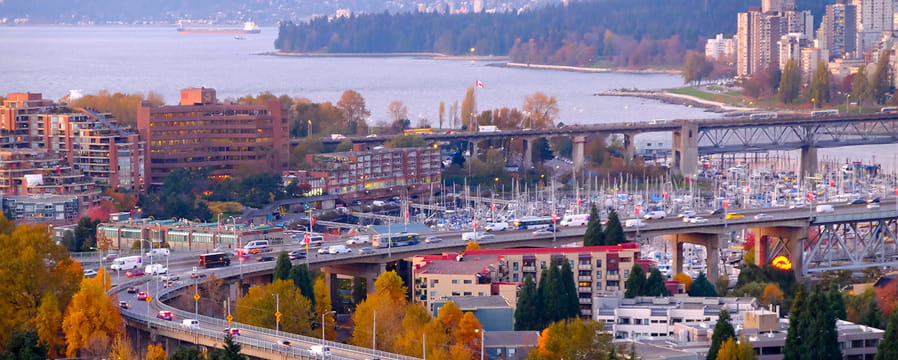
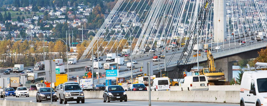
TransLink also owns and maintains five bridges:
-
Knight Street Bridge
-
Pattullo Bridge
-
Golden Ears Bridge
-
Westham Island Bridge
-
the Canada Line bike and pedestrian bridge
For more information on these bridges and active construction work, visit the Bridge Maintenance and Upgrade Program page.
TransLink Traffic Data Dashboard

Vehicle traffic monitoring plays a key role in understanding how people and goods move across Metro Vancouver’s road network. This traffic data is gathered from a limited number of sources, including:
-
vehicle counting sensors on TransLink’s Golden Ears, Knight Street, and Pattullo bridges
-
BC Ministry of Transportation and Transit vehicle counts
-
City of Coquitlam's vehicle counts
-
travel time data from Google Maps
A Regional Traffic Monitoring Program has been developed to improve this fragmented system of reporting. This initiative will unify data from multiple sources into a single, comprehensive dataset, significantly enhancing traffic monitoring capabilities across the region. The TransLink Traffic Data Dashboard will serve as a central hub for this information, offering access to vehicle volumes, travel times, and active transportation data.
View the Traffic Data DashboardIf you have any feedback on the Traffic Data online dashboard, please email systemanalytics@translink.ca.
Regional Road Performance Monitoring Report

Healthy regional roads are essential to the livability and economic success of our region. They enable the efficient movement of goods and connect commuters to the people and places that matter the most.
TransLink is more than just transit. In partnership with municipalities, we plan the region's Major Road Network (MRN) and contribute funding for the operation, maintenance, and rehabilitation of the MRN.
Created in 2020, our Regional Road Performance Monitoring (RRPM) report and online dashboard collect and present important data on the health and safety of Metro Vancouver’s regional roads. It helps us understand the location, scale, and complexity of our road network challenges, enabling TransLink and road authorities to make informed, performance-based decisions.
The report also reinforces the need for strong partnerships and strategic investments across the region to help create a safer and more efficient road network.
Regional Road Performance Report
Feedback
If you have any feedback on the RRPM online dashboard, please email us at rrpm@translink.ca.
Goods Movement

Goods movement is an essential part of our region’s transportation network. From food to clothing, and other goods, many businesses in Metro Vancouver rely on efficient goods movement to get their products to market in other parts of Canada, North America, and the world.
TransLink and our partners developed the Regional Goods Movement Strategy to promote a better understanding of goods movement issues and priorities. It draws together actions for governments and agencies at all levels, the private sector, and other organizations. It also represents a major step forward for TransLink to fulfill its mandate of providing a regional transportation system that efficiently moves both people and goods.
The strategy addresses how to deliver goods and services to more people and businesses within a shared and increasingly limited space. The strategy also aims to make goods movement cleaner, quieter, safer, and more cost-effective It is an ambitious agenda, but one that partners in this region are confident we can advance if we work together.
Goods Movement Resources
Check out the Regional Goods Movement Strategy and Backgrounder for more information.
Truck Route Planner (TRP)
TransLink and the Government of British Columbia released the Truck Route Planner, an online tool to help commercial vehicle operators plan their trips. This tool is the first of its kind in Canada to plan truck routes with a holistic picture of the region’s commercial vehicle network.
To use the Truck Route Planner, truck operators input the dimensions of their vehicle with their desired destination and starting point to find the optimum route for their vehicle. The Truck Route Planner suggests optimum routes based on:
-
The operator’s vehicle dimensions
-
Municipal bylaws
-
Height clearances
-
Bridge weight load limits
-
Major road closures on truck routes
The Truck Route Planner is a pre-trip planning tool, it is not designed to provide real-time directions. Operators are asked to not use the tool while driving. Operators of oversize or overweight vehicles on provincial highways should not use this tool, and instead plan their route using other provincial resources such as:
-
Pre-approved weight routes listed in Chapter 6 of the Commercial Transport Procedures Manual (Section 6.3.3)
-
CVSE staff advice at the Provincial Permit Centre (1-800-559-9688)

